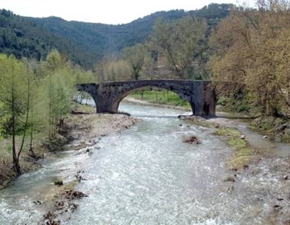
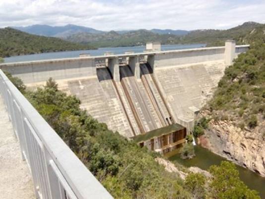
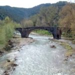
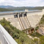
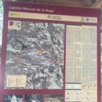
The Camí Natural de la Muga follows the course of the river La Muga and connects different Natural Areas of Girona, such as the Area of Natural Interest (EIN) of Alta Garrotxa, the EIN of Les Salines, the EIN of Penya -mowing of the Muga and the Aiguamolls de l’Empordà Natural Park.
As it passes, different habitats associated with the river are discovered, from the Ribera Forest to the river plains, thus uniting the Pyrenees with the Mediterranean Sea.
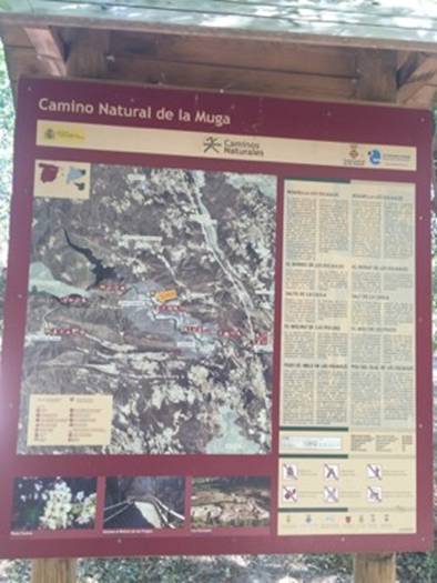
Along approximately 40 kilometers, the Natural Way passes through the municipalities of Sant Llorenç de la Muga, Terrades, Boadella and Les Escaules, Pont de Molins, Cabanes, Peralada and Castelló d’Empúries-Empuriabrava.
Through a route that allows you to practice activities such as fishing, cycling, hiking, as it can be done on foot, by bike or on horseback.
Detalls
- A Peu
- Bicicleta